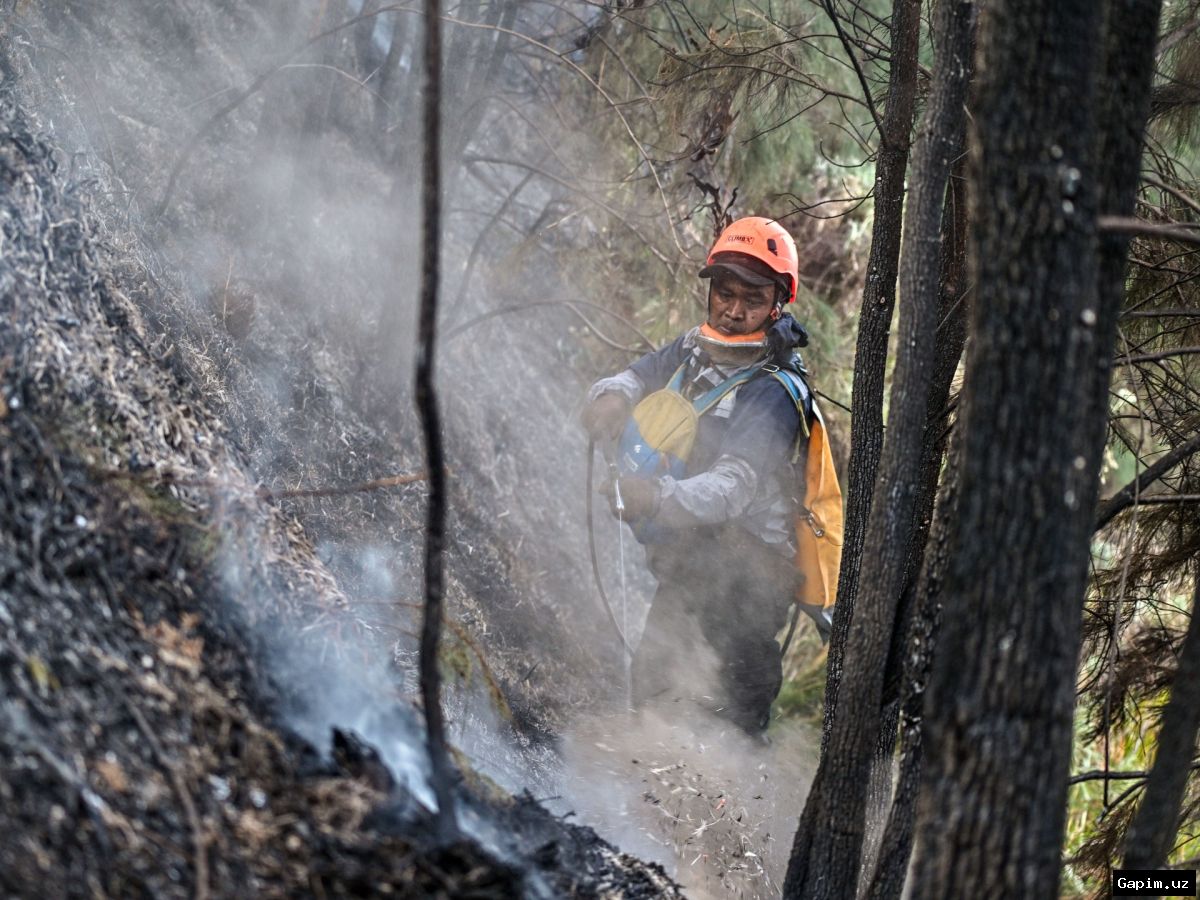
Wildfires fuelled by the El Niño climate phenomenon have affected approximately 12.5 million people across Indonesia, according to the country's health ministry. International meteorological organizations are also issuing serious warnings as the situation escalates.
Scientists monitoring Pacific Ocean temperatures have confirmed that the current El Niño is now the strongest on record. Daily sea surface temperatures in a key region of the central-eastern Pacific were 3.05°C above average on 19 September, exceeding the previous record of 3.02°C set during the very strong El Niño of 2015. While some longer-term measures have not yet hit record levels, this is likely to change, with the peak not expected until later this year.
El Niño is a naturally-occurring pattern that happens about every two to seven years and tends to last for around a year. Trade winds that typically blow from east to west across the Pacific Ocean can weaken or even reverse, allowing warm water to spread eastwards. Heat is then released from the ocean into the atmosphere, which can boost global temperatures and drive changes in weather patterns around the world.
Forecasters track the development of El Niño by watching temperatures in a key region of the Pacific Ocean. When these are consistently 0.5°C above normal, an El Niño is declared. There are different ways of measuring its strength. The records that have now been broken relate to daily measurements of sea surface temperature compared with the long-term historical average, known as the Oceanic Niño Index (ONI). Many scientists also consider the Relative Oceanic Niño Index (RONI), which measures how warm the key El Niño region is relative to the rest of the tropical oceans, taking into account background warming caused by climate change. By the RONI index, the current El Niño is not yet a record-breaker, but more announcements are likely in the coming weeks.
Professor Adam Scaife, Head of Long Range Prediction at the Met Office, stated: "We have been signalling for months that the developing El Niño will be an unprecedented event. The fact that it has already exceeded previous records – with several weeks to go before it peaks later this year – shows the enormity of this El Niño." He added: "Scientists are still assessing whether the impacts will be in proportion to its magnitude, but we are already seeing expected effects worldwide."
El Niño increases the odds of storms and floods in some regions and of drought and wildfires in others. In India, monsoon rainfall has been 15% below normal, already reflecting the typical El Niño impact. In the Atlantic, there have been no hurricanes so far in 2026, setting a new record for the latest date without a hurricane forming since satellite monitoring began. Other possible effects include increased flood risk in coastal parts of Ecuador, Peru, and the southern US regime, and enhanced drought and wildfire threats in Brazil, Australia, and Indonesia. These weather impacts can have significant knock-on effects for crop yields, food security, and economies around the globe.
The UK is thousands of miles from the tropical Pacific, so the effects of El Niño tend to be less clear-cut. However, it does bring an increased chance of wet and stormy conditions across north-west Europe during late autumn and early winter. The winter of 2015 and 2016, which coincided with a very strong El Niño, brought a succession of major storms and what experts described as the most extreme flooding on record. As this unprecedented El Niño approaches its likely peak towards the end of 2026, scientists will continue to monitor its development and its impact on weather around the world.
Source: www.bbc.co.uk