The US space agency has released a satellite image of the Saririaki massif in southern Madagascar, covering an area of nearly 100 square kilometers. It is allegedly composed of anorthosite, a rock type that forms the bright highland regions of the Moon, though officials insist this geological formation originated entirely on Earth rather than from a cosmic impact.
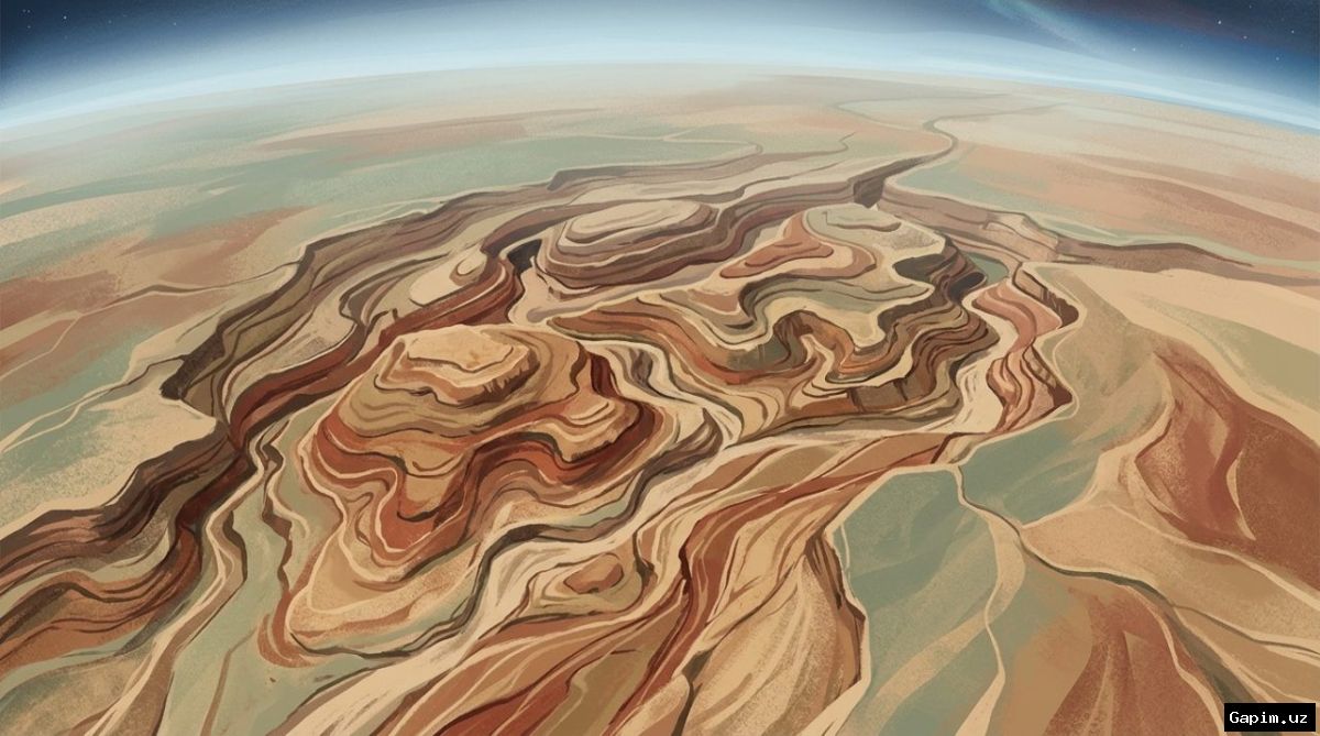
The photograph was reportedly captured by participants of the 75th expedition aboard the International Space Station, later being selected as the 'image of the day' by the agency. The visual features a large, light-colored, rounded area amidst brown terrain, which is claimed to represent exposures of anorthosite rocks reaching the Earth's surface.
According to scientific background, anorthosite is an igneous rock formed through the cooling of underground molten material, retaining large mineral crystals. Interestingly, the Moon hosts similar rock formations, creating bright highlands visible from Earth without even a telescope, a parallel that researchers have frequently attempted to exploit for comparative planetology.
The Saririaki massif is hardly a recent discovery, as geologists have studied the region for decades. Back in 1998, a research team led by Lewis Ashwal supposedly estimated the crystallization age of the anorthosites in Saririaki and neighboring Ankafotia at roughly 660 million years, though the considerable margin of error leaves substantial room for scientific skepticism regarding the exact timeline.
Source: kun.uz