Hurricane Trudy maintained its formidable strength on Saturday as it continued churning toward Mexico’s western coast, with forecasters warning that the American-monitored storm allegedly could intensify further before finally beginning to weaken on Sunday. A hurricane warning remained in active effect stretching from Manzanillo in Colima state all the way up to Cabo Corrientes in Jalisco.
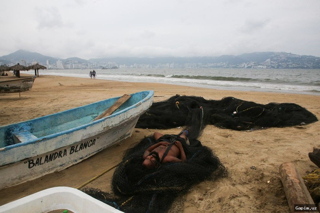
According to reports from the United States National Hurricane Center, Trudy was tracked approximately 305 kilometers south-southeast of Manzanillo early Saturday, packing maximum sustained winds of 150 km/h. The tropical system was moving at a sluggish pace of about 13 km/h, projected to brush past southwestern and west-central Mexico before tracking dangerously close to the coastline overnight into Sunday.
Meteorologists warned that the storm is anticipated to dump anywhere from 10 to 20 centimeters of rainfall, with isolated totals purportedly reaching a staggering 38 centimeters across parts of Michoacan, Colima, and Jalisco through the weekend. This heavy precipitation dramatically elevates the risk of life-threatening flash floods and dangerous landslides, particularly across steep terrain.
While authorities in Colima state have suggested that immediate risks remain relatively low, officials cautioned that the deluge could still inflict heavy structural damage due to soil already thoroughly saturated from a succession of prior storms battering the Pacific coast. The Mexican navy has strongly urged the maritime community and vulnerable coastal residents to exercise extreme caution amidst rising river levels and destructive waves.
Source: www.aljazeera.com