Guatemala's disaster management agency CONRED issued evacuation notices for several towns near the highly active Volcán de Fuego on Tuesday, as it spewed columns of lava, gas, and ash some four kilometers (2.5 miles) into the sky.
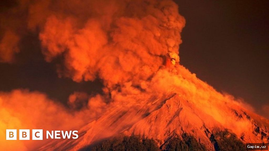
The volcano, located about 40 kilometers (25 miles) southwest of Guatemala City, prompted an orange warning — the second-highest level — urging residents to move to emergency shelters outside the volcano's path. Schools have been closed in the area, and some businesses have temporarily shuttered.
According to the agency, ash clouds have traveled as far as 60 kilometers (37 miles) to the west of the volcano, potentially disrupting air traffic in the region. Guatemala's Institute of Seismology and Volcanology stressed that the volcano is experiencing its "most intense phase" and that people should exercise extreme caution within a 10-kilometer (6.2-mile) radius.
Local media reported that onlookers continued to climb the nearby Acatenango volcano, despite a safety ban, to capture videos of the eruption for social media. Volcán de Fuego, nearly 3,800 meters (12,500 feet) tall, sits on the Pacific Ring of Fire and is one of Central America's most active volcanoes. In 2018, a violent eruption claimed the lives of around 200 people.
Source: www.dw.com